About All Tours From San Juan Toursand Luquillo Beach ToursHalf Day ToursZipline ToursWaterslide ToursPrivate ToursWaterfall ToursHiking ToursTours with Transportationand Bio Bay Tours Directions Hours & Fees
Find Tours 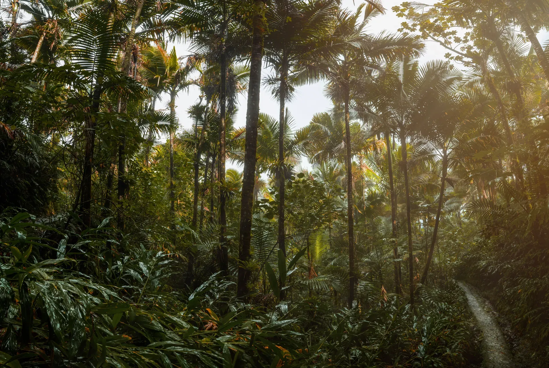
El Yunque National Forest covers 28,434 acres of the Sierra de Luquillo mountains in northeastern Puerto Rico. It stands as the only tropical rainforest in the United States National Forest System, receiving over 100 inches of rain annually.
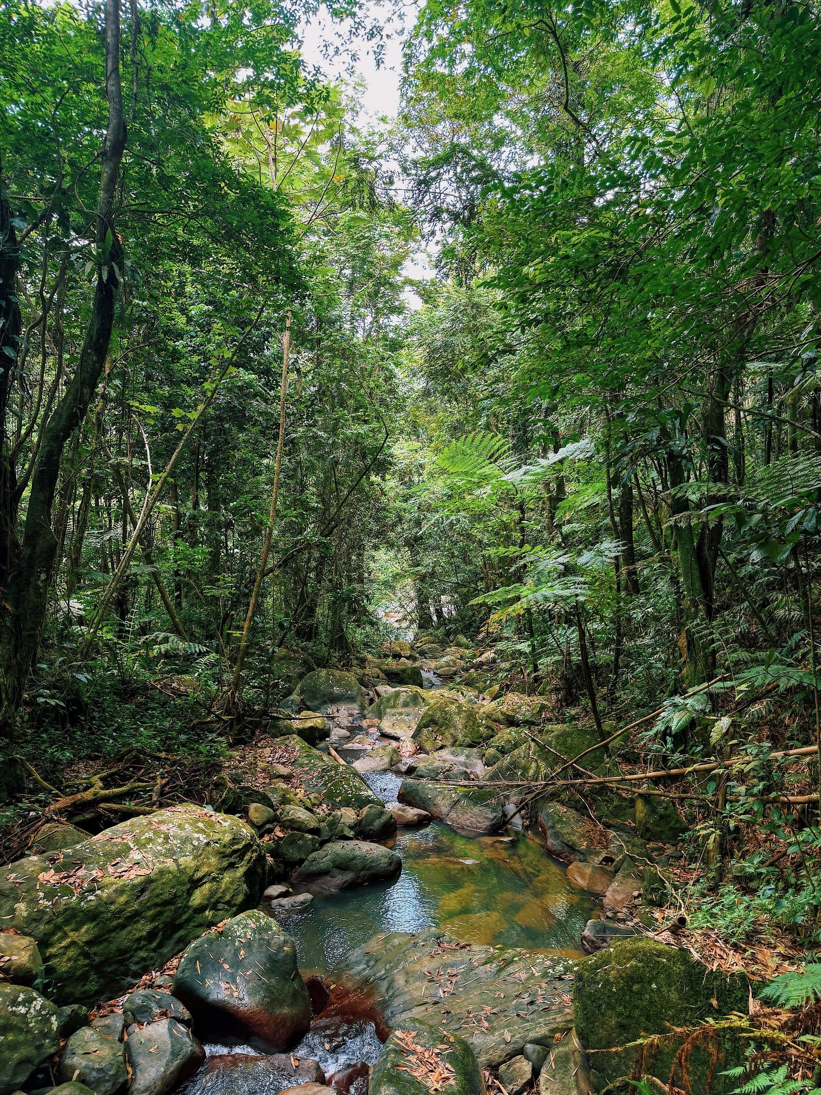
Over 100 inches of rain fall on the Sierra de Luquillo mountains each year, feeding the 28,434 acres of El Yunque National Forest. The terrain rises sharply from the northeastern coastal plains of Puerto Rico to the 1,065-meter summit of El Toro. Razor-sharp ridges known as cuchillas cut through the landscape, creating steep drops and deep valleys. Thick clouds often shroud the upper elevations, creating a distinct cloud forest ecosystem. This unique climate supports 240 species of trees and 150 types of ferns, making it the only tropical rainforest in the United States National Forest System.
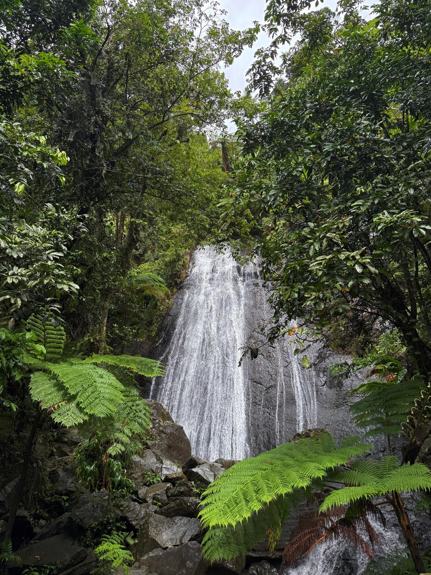
Water dictates the rhythm of the forest. Clear mountain rivers carve through the steep slopes, dropping over dark rock faces to form cascades like La Coca Falls right beside Route 191. The moisture sustains immense biodiversity, providing a critical sanctuary for endangered species like the Puerto Rican parrot. This constant flow has a highly practical purpose. The forest's watershed provides ten percent of the entire island's drinking water. Hundreds of thousands of visitors arrive annually to hike the trails, swim in the natural pools, and climb the historic observation towers.
Navigating the main recreational corridor requires planning and awareness of the strict local laws. The gates on Route 191 North close precisely at 5:00 p.m. Vehicles left inside the La Mina Recreation Area after this time face fines, and parking on narrow shoulders or blind curves results in immediate towing. Heavy downpours trigger flash floods without warning, turning calm natural pools into dangerous torrents. Visitors must exit the water immediately if rain begins upstream. Mobile apps like Uber do not operate within the park boundaries, leaving unprepared travelers stranded with a multi-hour walk back to town.
The dry season from December to April brings cooler weather and lower chances of heavy rainfall, though high tourist demand requires booking any necessary tour reservations weeks in advance. Conversely, the period from June to November brings a high risk of tropical storms, landslides, and sudden weather-related trail closures. A typical visit lasts between three to six hours. Travelers can choose a quick three-hour itinerary focusing on roadside waterfalls like La Coca and the Yokahú Tower, or a full-day six-hour itinerary that includes hiking trails, swimming in natural pools, and exploring the El Portal Visitor Center. Renting a car in San Juan, driving the 43 kilometers east on Highway PR-26 to PR-66, and arriving by 8:30 a.m. secures a parking spot and beats the midday heat.
King Alfonso XII of Spain signed a decree in 1876 setting aside 5,000 hectares of the Luquillo mountains as a crown reserve. This action established an early protected natural area in the Western Hemisphere. The Spanish government managed the timber and water resources for two decades, mapping the rugged terrain and regulating the extraction of wood. Following the Spanish-American War in 1898, Spain ceded Puerto Rico and its forest lands to the United States.
President Theodore Roosevelt formally established the Luquillo Forest Reserve on January 17, 1903. The U.S. Forest Service took over management, expanding the boundaries to encompass over 28,000 acres. During the 1930s, the Civilian Conservation Corps arrived to build the infrastructure that visitors still use today. Workers constructed the 1.7-mile Mt. Britton Trail, laying stone paths through the misty cloud forest to a high-elevation stone tower. They also built Baño Grande, a large man-made swimming pool featuring intricate stone masonry and a pedestrian bridge.
The forest took on a strategic military role during World War II. The U.S. military installed radar equipment on the high peaks to detect German submarines patrolling the Caribbean Sea. Soldiers lived in concrete bunkers built into the mountainside, monitoring the horizon for enemy activity. After the war, the focus returned to conservation and recreation. The site operated under the name Caribbean National Forest for decades, drawing scientists from around the world to study its unique tropical ecosystems.
President George W. Bush signed an executive order in 2007 officially changing the name to El Yunque National Forest. The change honored the indigenous Taíno heritage and aligned the official title with the name locals had used for centuries. In 2017, Hurricane Maria devastated the forest, stripping the canopy and destroying infrastructure. The Forest Service suspended all camping permits indefinitely following the storm. Reconstruction continues today, meaning visitors must bring their own drinking water because the public potable water system remains offline.
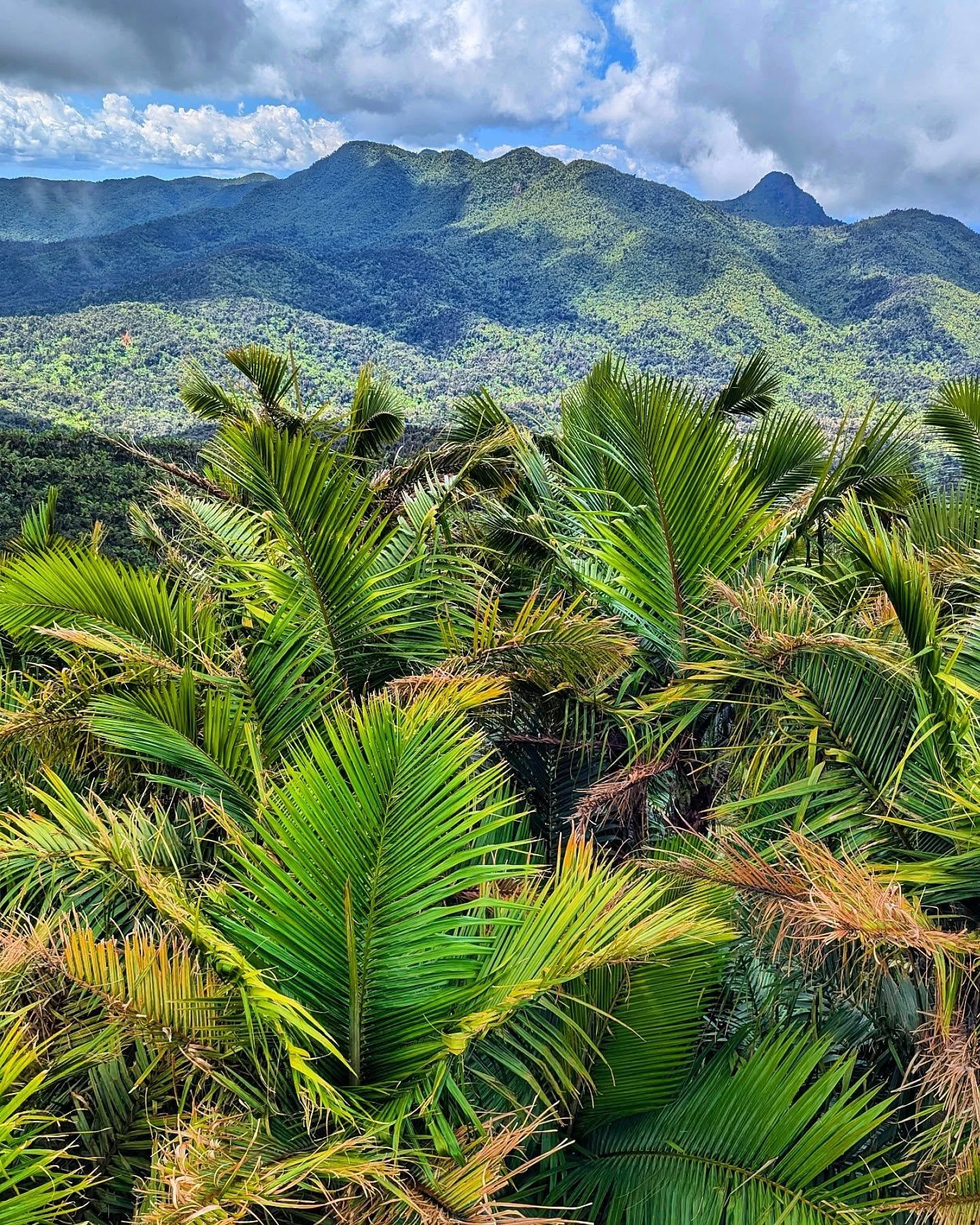
Eighty meters of dark basalt rock form the sheer drop of La Coca Falls, visible directly from the winding asphalt of Route 191. The forest's topography is defined by extreme elevation changes over short distances. The land climbs from sea level to 1,065 meters at El Toro peak, while the neighboring El Yunque peak stands just short of 3,500 feet. This sharp incline forces moisture-laden trade winds upward, causing them to cool and release massive amounts of rain. The resulting runoff carves deep gorges and feeds the Mameyes River, accessible via the dirt and gravel path of the Angelito Trail.
A short, five-minute walk from the PR-191 trailhead leads to Juan Diego Falls, a series of secluded cascades. The cool pool at the bottom of the lower falls allows for a quick swim without scrambling over difficult rocks. Nearby, Baño Grande showcases the engineering of the Civilian Conservation Corps. While swimming is no longer permitted in this 1930s man-made pool, visitors walk across the pedestrian bridge to admire the stone masonry and the tranquil water. The forest accommodates different mobility levels. Elderly visitors can view La Coca Falls directly from their vehicles along the scenic drive, while specialized accessible bus tours accommodate up to two wheelchairs, stopping at flat viewpoints like the base of the Yokahú Tower.
The El Portal de El Yunque Visitor Center occupies 40,000 square feet near the forest entrance. Its sustainable, open-air architecture relies on natural ventilation rather than air conditioning, blending concrete and wood into the surrounding jungle. A paved, 700-meter ADA-compliant path called the Explore and Discover trail loops around the facility, allowing wheelchair users to navigate the dense foliage. Inside, an educational film narrated by Benicio del Toro plays on a loop, and interactive exhibits explain the complex watershed system.
Stone masonry from the 1930s dominates the historical structures along the main corridor. The Yokahú Observation Tower rises above the canopy, built entirely of stone with a narrow spiral staircase leading to a viewing platform. From the top, the green ridges stretch north toward the Atlantic Ocean. Further up the mountain, the Mt. Britton Tower sits within the cloud forest zone. Hikers reach this 1930s structure via a 1.7-mile roundtrip trail, where the air temperature drops noticeably and moss covers the trunks of the 240 distinct tree species.
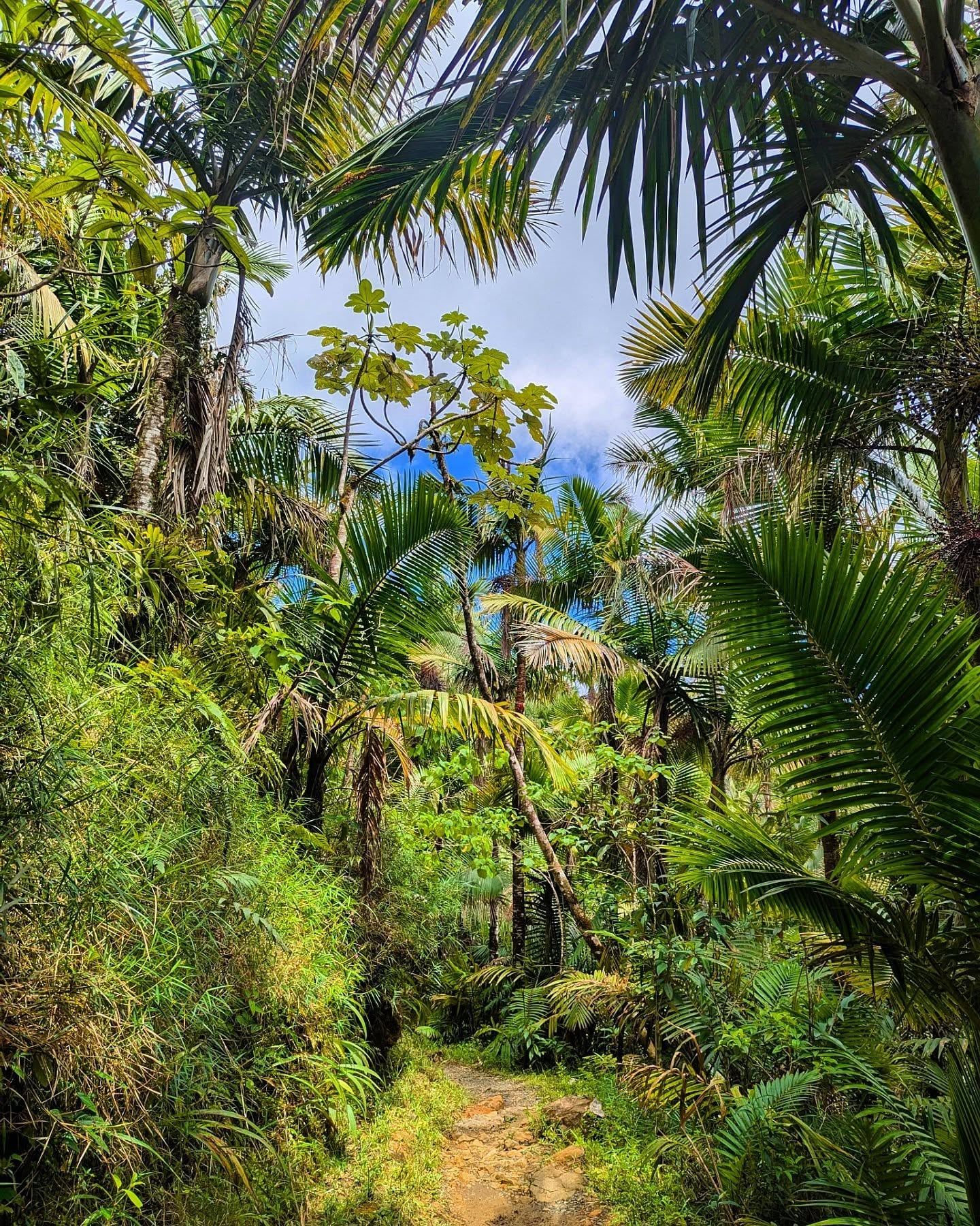
The indigenous Taíno people viewed the Luquillo mountains as sacred ground long before Spanish colonization. They believed the highest peaks were the throne of Yúcahu, their supreme deity and the protector of the island. The name 'El Yunque' likely derives from the Taíno word 'Yuke,' meaning white lands. This title refers to the thick clouds that constantly shroud the mountaintops, a meteorological phenomenon that sustains the rare cloud forest ecosystem. The forest remains a powerful symbol of Puerto Rican identity, representing the island's natural resilience.
Native Coquí frogs provide the acoustic backdrop to the island. These tiny amphibians produce a loud, two-note call that echoes through the trees, especially during the cooler early morning hours. Their presence in the forest is a point of cultural pride, as the species is endemic to Puerto Rico and struggles to survive anywhere else in the world. Visitors arriving at 8:30 a.m. hear the loudest chorus of frogs before the midday heat silences them.
Modern Puerto Ricans maintain a strong connection to the forest's rivers. Local families frequently visit the lower elevation swimming holes, like those along the Mameyes River, to cool off during the humid summer months. Just outside the official boundaries, residents gather at Las Paylas to slide down smooth, natural rock formations into the Rio Pitahaya.
The forest's location allows travelers to experience multiple Puerto Rican ecosystems in a single day. Just 15 minutes from the forest entrance, Luquillo Beach offers a stretch of golden sand lined with shady coconut palms and calm, warm waters. This coastal environment provides a sharp contrast to the humid rainforest trails. Thirty minutes further east, the Fajardo Bioluminescent Bay gives visitors the opportunity to kayak through glowing waters after dark. Combining a daytime hike in El Yunque with a nighttime kayak tour in Fajardo connects two of Puerto Rico's famous natural environments. After a morning hike, visitors often stop at roadside restaurants like La Muralla at kilometer 7.8 to eat authentic meals and drink fresh coconut water.
Drones are strictly prohibited in most recreational areas, including La Mina, to protect wildlife and visitor privacy.
Mosquitoes are virtually non-existent in the forest due to the high elevation, cooler temperatures, and fast-moving water.
The forest's watershed is so massive that it supplies ten percent of the drinking water for the entire island of Puerto Rico.
During World War II, the U.S. military used the high peaks as a strategic radar site to hunt for German submarines.
The native Coquí frog, a cultural symbol of Puerto Rico, is most vocal and active during the early morning hours in the forest.
The Forest Service stopped issuing camping permits after Hurricane Maria, making overnight stays illegal within the park boundaries.
The El Portal Visitor Center features an educational film narrated by Puerto Rican actor Benicio del Toro.
The reservation system for the PR-191 North corridor is currently suspended. Entry operates on a first-come, first-served basis, though school groups still require advance booking.
Driving the main forest corridor and hiking the trails is completely free. The El Portal Visitor Center charges an $8.00 entrance fee for adults, while children 15 and under enter free.
Rideshare apps can drop you off, but they are not authorized to pick you up inside the PR-191 corridor. Relying on Uber for a return trip often leaves visitors stranded and walking for miles.
You will rarely encounter mosquitoes in El Yunque. The combination of high elevation, cooler mountain air, natural predators, and a lack of stagnant water keeps their numbers extremely low.
Camping is currently prohibited throughout the forest. The U.S. Forest Service suspended all camping permits following the severe infrastructure damage caused by Hurricane Maria.
The main recreational corridor and trails open daily at 8:00 a.m. and close strictly at 5:00 p.m. The El Portal Visitor Center operates from 8:00 a.m. to 4:00 p.m.
Flying drones is strictly prohibited in most areas, including the La Mina Recreation Area. Commercial drone filming requires a highly regulated special use permit obtained months in advance.
There is no public potable water available inside the forest due to ongoing reconstruction of the water system. You must bring your own water or purchase bottles from authorized concession stands.
Exit any rivers or natural pools immediately, as heavy rain triggers dangerous flash floods without warning. Monitor official channels, as the Forest Service will close roads like PR-191 if conditions become unsafe.
The dry season from December to April offers cooler weather and a lower chance of heavy rainfall. The period from June to November brings a high risk of tropical storms, landslides, and sudden trail closures.
Browse verified tours with free cancellation and instant confirmation.
Find Tours